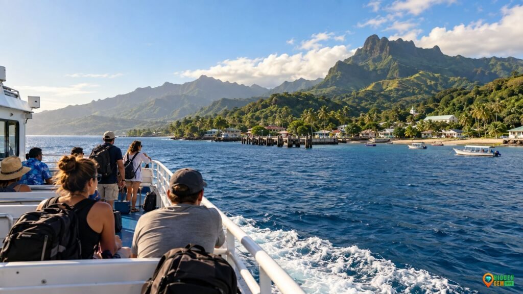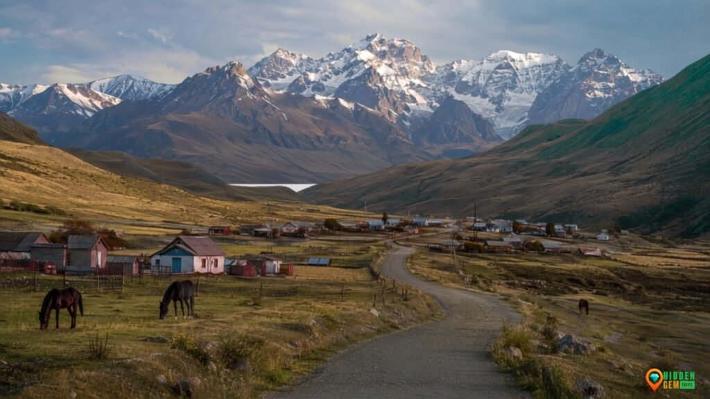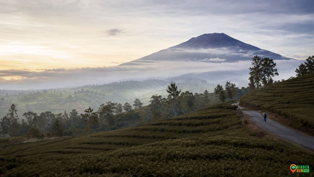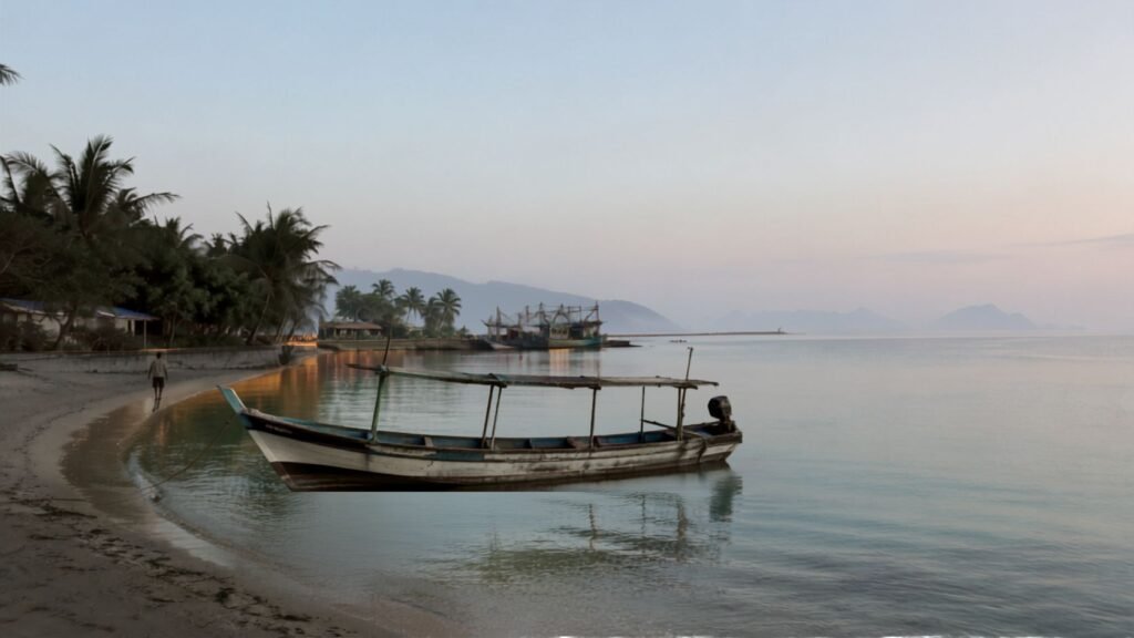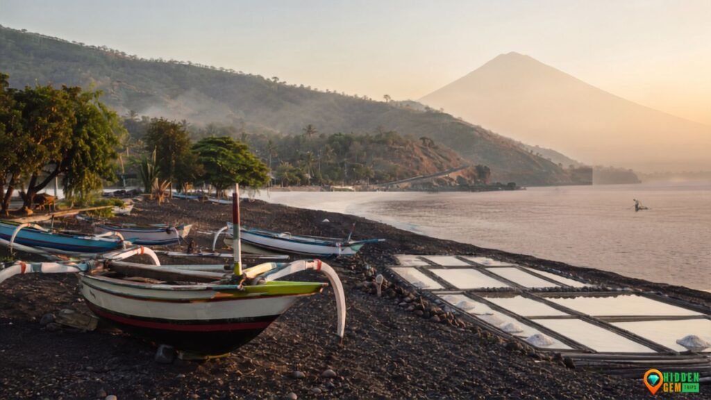

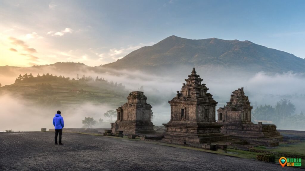
This Dieng Plateau Travel Guide is for travelers who want more than a rushed sunrise, a sulfur selfie, and a cold ride back to Yogyakarta. Dieng is one of Java’s most atmospheric highland regions, but its beauty is not stable or obedient. Mist moves across temple stones. Sunlight changes the color of volcanic lakes. Steam can look cinematic while also signaling a landscape that deserves caution. A viewpoint that is perfect at 7:00 a.m. may be completely blank thirty minutes later. That uncertainty is not a planning failure. It is the central experience.
Dieng also is not an undiscovered wilderness. It is a lived-in plateau divided across Wonosobo and Banjarnegara, shaped by farms, villages, temples, geothermal activity, local tourism, and roads that can become crowded during holidays. Travelers who approach it as another “secret destination” risk missing the real story. A better starting point is the broader HiddenGemTrips approach to finding meaningful places across Indonesia without pretending local life does not exist. Dieng rewards attention, not possession.
The route below uses seven stops, but it is not a checklist challenge. It is a mist-window system: choose the place that matches the current visibility, temperature, crowd level, and energy of your group. That means you may leave one stop for another day. Honestly, that is healthier than trying to speed-run a volcanic plateau before lunch.
Affiliate disclosure:
This article contains selected booking, insurance, and gear links. If you purchase through an eligible link, HiddenGemTrips may earn a commission at no additional cost to you. Recommendations remain editorial, and prices, coverage, access, and local conditions should always be verified before booking.
Why Dieng Is More Than a Sunrise Stop
Dieng is often marketed through one image: golden sunrise above a sea of clouds. The image is real, but it can flatten a much richer destination. In 2025, Indonesia’s Geological Agency formalized Dieng as a National Geopark covering 319.36 square kilometers. The official profile identifies 23 geological heritage sites, eight biodiversity sites, and nine cultural-diversity sites, ranging from temples and traditional houses to living traditions, tea, coffee, endemic crops, and geothermal facilities. You can read the official National Geopark Dieng announcement for the full context.
That geopark framework changes the question from “What are the top things to do?” to “How do geology, culture, farming, and local livelihood fit together?” The Arjuna temples make more sense when seen as sacred architecture placed inside a volatile highland environment. Telaga Merdada becomes more than a quiet lake when you notice the agricultural basin around it. Tambi is not simply a tea-photo stop; it is a working landscape tied to Central Java’s highland economy.
This perspective also separates Dieng from the existing Garut highland route in West Java. Garut is a restorative chain of hot springs, tea roads, and volcano-base villages. Dieng is tighter, colder, older in its temple narrative, and more visibly shaped by crater fields and sudden fog. Both are highlands; they are not interchangeable mood boards.
For travelers comparing several cool-weather options, the broader guide to West Java escapes that feel farther from Jakarta than they really are is useful context. Dieng usually needs more deliberate transport planning and at least one overnight near the plateau. The reward is a landscape where cultural history and active geology sit uncomfortably—and beautifully—close together.
Dieng Plateau Travel Guide: Use the Mist-Window Method
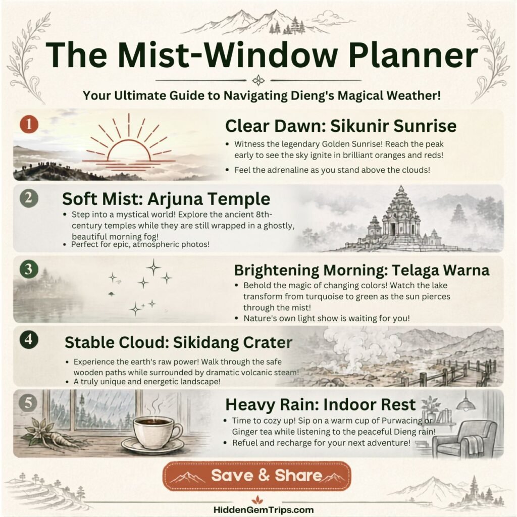
The mist-window method is simple: instead of assigning every attraction to a fixed hour weeks in advance, group stops by the conditions they need. Dieng’s weather can make a rigid plan feel strangely personal when it collapses. A flexible plan feels less glamorous in a spreadsheet, but far better on the road.
| Condition | Best Match | Decision Rule |
| Clear dawn | Sikunir Hill, Cebong Lake edge | Use only when the forecast and local advice support an early climb. Leave buffer for parking and walking. |
| Soft mist, no heavy rain | Arjuna Temple Complex, Tambi tea roads | Mist adds atmosphere without eliminating the main experience. |
| Brightening mid-morning | Telaga Warna, Batu Ratapan Angin | The lakes and overlook need usable light; dense fog can erase the color and view. |
| Cloudy but stable | Sikidang Crater, Telaga Merdada | These stops still work without dramatic sunrise, but official access and safety rules come first. |
| Heavy rain or dangerous visibility | Local food, museum, homestay rest, Wonosobo town | Do not force viewpoints or crater edges. Move the outdoor stop to another window. |
The method works especially well when combined with the two-base itinerary approach. For a longer Central Java trip, one base can be Wonosobo or Dieng for the plateau, while a second base can be Yogyakarta, Magelang, or another Java stop. Moving once with purpose is better than changing hotels every night because a map made the distances look cute.
Even on a short trip, the principle from this deeper seven-day itinerary framework still applies: one strong experience per morning, one softer afternoon, and enough buffer that weather does not turn the itinerary into a group argument.
Dieng Plateau at a Glance
| Region | Central Java; primarily Wonosobo and Banjarnegara regencies |
| Typical elevation | Around 2,090–2,150 meters in Dieng village, with surrounding peaks and volcanic features higher |
| Landscape | Active volcanic complex, crater fields, lakes, temples, farms, villages, geothermal infrastructure |
| Geopark status | National Geopark since 2025; 319.36 km² |
| Ideal stay | 2 nights for a balanced visit; 1 night is possible but vulnerable to weather |
| Best pace | Three to five main stops over two days, or all seven over three days |
| Main practical risks | Cold exposure, rain, fog, winding roads, crowds, crater restrictions, volcanic gas |
| Useful base choices | Dieng for early starts; Wonosobo for more facilities and easier onward transport |
The Smithsonian Institution’s Global Volcanism Program describes the Dieng Volcanic Complex as multiple stratovolcanoes with more than 20 small Pleistocene-to-Holocene craters and cones across an area roughly 6 by 14 kilometers. Its Dieng volcanic-complex profile and activity reports are worth checking because “beautiful steam” and “active hydrothermal system” are not the same sentence, no matter how good the reel looks.
Best Time to Visit Dieng Plateau
There is no single perfect month. The dry-season window, broadly from June to October, often brings clearer mornings, colder nights, and the possibility of frost. BMKG explains that Dieng frost forms when condensed moisture freezes under sufficiently cold highland conditions, with the phenomenon occurring mainly during the dry season. The agency has conducted detailed observations near the Arjuna Temple area since 2020. Its official explanation of Dieng frost and its impacts also stresses that frost can damage crops. That matters: what visitors celebrate as a rare photo can be a real loss for farmers.
Dry season does not mean warm or guaranteed clear skies. The lowest temperature in Dieng in July 2024 was 1°C at 2:00 a.m., said BMKG. Bring layers even when the lowlands feel hot. The shoulder periods can offer greener fields and fewer frost-chasers, but rain and low cloud may reduce visibility. The wet season can be deeply atmospheric, yet it demands more flexibility, better footwear, and a willingness to cancel exposed viewpoints.
Timing within the week matters almost as much as season. Weekdays usually feel calmer. Long weekends, school holidays, major festivals, and frost news can trigger sharp crowd increases. The safest planning rule is boring but powerful: check the weather, check local access, and ask your accommodation what happened yesterday—not what a blog experienced three years ago.
How to Reach Dieng and Choose the Right Base
Most travelers approach Dieng through Wonosobo. From Yogyakarta, Semarang, Solo, Purwokerto, or Jakarta, the long-distance leg may involve a train or bus followed by road transport. Dieng itself has no railway station. Final access is by car, minibus, shuttle, or motorcycle on winding highland roads. Travel time can expand during rain, fog, market activity, construction, or holiday traffic, so do not build a fixed sunrise plan immediately after a late-night arrival.
Choose Dieng village or nearby homestays when early access to Arjuna, Sikidang, or the Sikunir route is the priority. Choose Wonosobo when you value more restaurants, transport options, pharmacies, and a softer first night. International travelers may find Wonosobo easier for orientation; photographers and sunrise-focused travelers may prefer sleeping higher. The practical compromise is two nights near the plateau, especially when the trip depends on visibility.
When comparing accommodation, check recent reviews for hot water, insulation, road access, parking, noise, and early breakfast. A beautiful cabin with unreliable hot water in a 5°C dawn is not rustic charm. It is character development you did not request. You can compare current Dieng and Wonosobo accommodation options on Traveloka.
For international visitors, travel insurance should be considered separately from destination inspiration. Review exclusions, covered activities, medical limits, and certified-path requirements before buying. One option is to compare SafetyWing Nomad Insurance coverage. This is not a guarantee that every Dieng activity is covered; the policy wording wins every argument.
7 Misty Stops on the Dieng Plateau
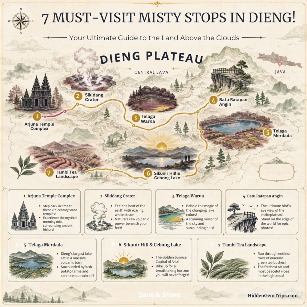
The stops are ordered for planning logic, not ranking. In a two-day trip, choose four or five. In three days, you can experience all seven without turning every road into a transfer corridor.
1. Arjuna Temple Complex: The Quietest Historical Morning
Arjuna is the best introduction to Dieng because it immediately rejects the idea that the plateau is only a nature destination. Small stone temples rise from an open highland plain where mist can move faster than visitors. On a clear morning, the setting feels spacious. In light fog, it becomes intimate and almost theatrical. In heavy rain, it becomes cold, slippery, and less philosophical than your Instagram caption planned.
Visit early, before tour groups and school-holiday traffic build. Walk slowly enough to notice drainage, stone texture, the relationship between structures, and how exposed the complex is to mountain weather. The Geological Agency identifies Dieng’s Hindu remains as part of the geopark’s cultural heritage, while the Smithsonian notes that the plateau is a sacred area associated with some of Java’s oldest Hindu temples. Avoid turning disputed dates into absolute claims; “early medieval Java” or “approximately the seventh to ninth centuries” is safer than pretending every source agrees.
Arjuna is also the most meaningful place to understand frost. BMKG’s monitoring near the temple area shows that cold events are not travel folklore. When frost appears, stay on public paths, do not enter agricultural plots for photos, and remember that frozen plants may represent damaged income. Ethical travel occasionally means not stepping into the shot.
The official national tourism portal provides indicative opening hours and ticket advice, but fees and arrangements are subject to change; check locally, especially for foreign-visitor pricing and combined tickets.
2. Sikidang Crater: Read the Steam, Respect the Boundaries
Sikidang is the most accessible way to experience Dieng’s volcanic character. Boardwalks and visitor infrastructure make the steaming ground easier to approach than a remote crater hike. That accessibility can create false confidence. The smell, vapor, and bubbling mud are not theme-park effects; they are expressions of an active hydrothermal system.
Follow current barriers and instructions. Do not cross ropes for a cleaner frame. Do not linger where staff advise movement. People with respiratory sensitivity should be conservative around sulfurous fumes. Wind direction can change quickly, and fog may reduce your ability to read the terrain. Check the MAGMA Indonesia platform for official geological-hazard information and ask local operators about same-day conditions.
The broader lesson is similar to the one in the brutally honest Mount Raung safety guide: volcanic scenery is never a reason to improvise around exclusion zones. Dieng’s crater fields have histories of phreatic explosions and hazardous gas. You do not need to become anxious, but you do need to retire the phrase “it should be fine” from your risk-management vocabulary.
Go in the morning when visibility is usable and the heat is lower. Pair Sikidang with Arjuna because they offer a strong contrast: sacred stone, then restless earth. Keep the pair as a half-day rather than squeezing in three distant lakes before lunch.
3. Telaga Warna and Telaga Pengilon: Wait for the Light
Telaga Warna is famous for shifting tones created by light, water chemistry, and sulfur-rich conditions. The common mistake is assuming the color will perform on demand. Dense fog can flatten the lake. Harsh midday glare can also reduce the subtlety. The best window is often after early mist begins to lift but before afternoon cloud closes the basin again.
Walk the permitted paths rather than treating the entrance viewpoint as the whole experience. Telaga Pengilon, beside the better-known lake, offers a quieter visual counterpoint. The contrast between a reflective lake and a more mineral-colored one makes the site feel less like a single photo stop and more like a compact lesson in volcanic hydrology.
Keep your expectations flexible. The lake may be brilliant, muted, rainy, or partly hidden. The more honest travel mindset from the 2026 Slow Travel Manifesto is useful here: the goal is not to force the destination into the image you saved. The goal is to notice the version that actually arrived.
Because the paths can be damp, shoes with grip matter. Stay away from unmarked edges, carry water, and keep the visit quiet. Lakes amplify sound, and nobody came to a volcanic basin to hear your portable speaker discover bass.
4. Batu Ratapan Angin: The Overlook That Needs Patience
Batu Ratapan Angin gives the classic elevated view over Telaga Warna and Telaga Pengilon. The viewpoint is often sold as a guaranteed panorama. It is not. It is a weather negotiation. In fast-moving cloud, the lakes may appear for five minutes and disappear again. That brief reveal can be more memorable than a perfectly clear hour because you had to wait for it.
Visit only when paths and visibility are safe. The route includes uneven and potentially slippery sections, and exposed viewpoints are not the place to test whether your shoes are “probably okay.” Give yourself a defined waiting window—perhaps twenty to thirty minutes—then move on. Patience is good; stubbornness in cold rain is just wet stubbornness.
Batu Ratapan Angin works best as a companion to Telaga Warna, not a separate cross-plateau mission. If fog is dense and stable, skip it and use the time for food, museum context, or a slower village stop. The mist-window method is designed to protect the day from one failed view.
5. Telaga Merdada: The Wide, Working Landscape
Telaga Merdada is the stop that makes this guide feel less like every other Dieng list. It is larger in mood than in spectacle: a broad volcanic basin, cultivated slopes, open water, and agricultural life. It may not deliver the saturated color of Telaga Warna or the drama of Sikidang. That is precisely why it matters.
Come for scale and context. The plateau is productive land, not an outdoor studio. Potato fields and other highland crops shape the visual character, while farmers absorb the costs of frost, erosion, changing weather, and tourism pressure. Photograph from public areas, ask permission before focusing on workers, and never enter fields because the rows look cinematic.
Telaga Merdada is best under bright cloud or soft morning light. Dense fog can erase its scale, but partial mist often adds depth. Use it as a lower-pressure stop after a crowded morning. Bring a small snack, sit where permitted, and let the trip become quiet without needing a “wow” every seven minutes.
This kind of attention connects with the rural travel approach in Lake Toba’s village-focused route beyond the obvious island circuit: landscapes become more meaningful when you recognize the people who work inside them.
6. Sikunir Hill and Cebong Lake: Sunrise Without the Rush
Sikunir is Dieng’s most famous sunrise experience and one of its easiest places to ruin with unrealistic expectations. The route can be crowded, parking can become chaotic, and the predawn cold is serious. A “golden sunrise” depends on cloud position, visibility, and timing. Sometimes the sky glows. Sometimes you stand in fog with several hundred new friends.
The better strategy is to sleep close, verify access and weather, carry a headlamp, and treat the walk as an experience even if the horizon stays hidden. Start at a pace that matches the slowest person in your group. Do not stop in narrow sections for long photo sessions. At the viewpoint, keep pathways clear and avoid climbing unofficial edges.
Cebong Lake balances the sunrise mission. After descending, spend a little time around the village and lake area rather than immediately racing to the next attraction. Eat breakfast locally. Warm up. Let circulation return to your fingers. The supporting village economy is part of the sunrise system, even when social media crops it out.
For travelers prone to stacking too much into a remote morning, use the cost-and-energy logic in the realistic remote–trip budget guide. Sunrise has hidden costs: early transport, warm clothing, extra food, parking, guides, and the lost energy that affects the rest of the day.
7. Tambi Tea Landscape: A Softer Final Morning
Tambi gives Dieng travelers a useful change of texture. After craters, lakes, stone temples, and predawn crowds, tea roads and green slopes offer a softer exit. This is still a working landscape. The point is not to wander wherever the rows look best; it is to visit designated areas, understand the agricultural story, and slow the transition back toward Wonosobo.
Morning mist often suits Tambi because the experience does not depend on a distant panorama. Tea leaves, road curves, workers, and forest edges remain interesting in soft visibility. Ask about guided visits or official visitor areas. Buy tea or local products when the quality and price feel fair. A modest purchase can create more local value than another free roadside shoot.
Tambi works especially well on the final day because it does not demand a summit alarm. Pair it with a relaxed breakfast and enough buffer for your onward journey. This is where the philosophy of packing light for remote expeditions becomes surprisingly relevant: a small, weather-ready bag makes short walks and roadside stops easier than hauling a rolling suitcase through damp highlands.
A Practical Two-Day and Three-Day Dieng Itinerary
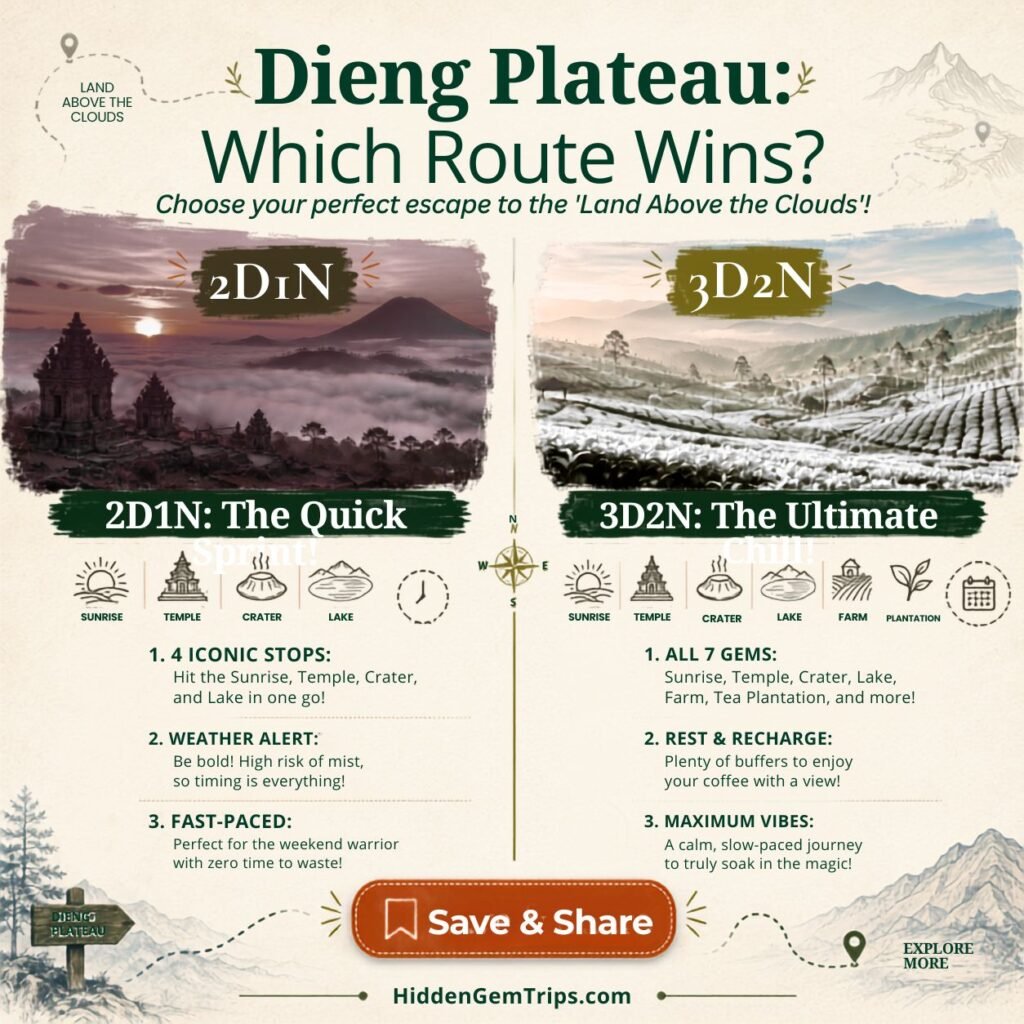
| Day / Time | Balanced 2 Days / 1 Night | Calmer 3 Days / 2 Nights |
| Arrival afternoon | Reach Wonosobo or Dieng; check in; short orientation walk; early dinner. | Reach Wonosobo or Dieng; rest; confirm weather, crater status, and sunrise access. |
| Day 1 dawn | Optional Sikunir only if rested and weather is suitable. | Sikunir and Cebong Lake; breakfast in Sembungan. |
| Day 1 morning | Arjuna Temple Complex + Sikidang Crater. | Arjuna Temple Complex + Sikidang Crater. |
| Day 1 afternoon | Telaga Warna; Batu Ratapan Angin only if visibility and paths are safe. | Telaga Warna + Batu Ratapan Angin, with a slow afternoon buffer. |
| Day 2 morning | Telaga Merdada OR Tambi; depart without rushing. | Telaga Merdada; village lunch; rest or local cultural stop. |
| Day 3 morning | — | Tambi tea landscape; return through Wonosobo with generous transport buffer. |
The two-day version is vulnerable to weather. If sunrise fails and Telaga Warna is fogged in, you may leave feeling that the plateau hid from you. Three days give Dieng room to become itself. For a wider Java route, the Pacitan secret-beach guide can form a completely different southern-coast chapter, but do not combine them without realistic road and rest days.
Realistic Dieng Budget and Booking Strategy
Dieng can be affordable, but “cheap destination” is not a useful budget. Your total depends on where you start, whether you hire a driver, how close you sleep to the plateau, and whether sunrise requires a private transfer. Entrance fees are usually smaller than transport and accommodation, especially for international travelers moving through Central Java.
| Category | Budget approach | Comfort approach | What travelers forget |
| Accommodation | Simple homestay or hostel | Well-reviewed hotel, cabin, or private room | Hot water reliability, heating is uncommon, weekend noise |
| Transport | Shared shuttle, bus, selective local ride | Private driver for two or three days | Predawn pickup, parking, driver meals, holiday surcharges |
| Attractions | Choose four or five paid stops | Full seven-stop route with guide where useful | Foreign pricing, combined tickets, changing local fees |
| Food | Warung meals and local snacks | Mix of local restaurants and café stops | Early breakfast, extra hot drinks, cash-only vendors |
| Weather gear | Bring your own layers | Buy better rain and cold-weather gear before travel | Emergency ponchos, gloves, dry bags, wet-shoe problems |
Use the practical habits in these Indonesia budget-travel strategies: compare the total route cost, not the cheapest room or ticket in isolation. A slightly more expensive homestay near an early stop may save a private predawn transfer and two hours of sleep. That is not overspending. That is buying back the part of the trip where you behave like a functioning human.
What to Eat and How to Spend Locally
Dieng’s cold air makes simple food feel more important. Look for mie ongklok in Wonosobo, carica products, potatoes, warm tempe dishes, local tea, coffee, and small snacks sold around villages and attractions. Ask your host where they eat, not only where tourists photograph the menu.
Spending locally does not require a performative “community experience.” Stay in a homestay run by locals if it meets your needs. Employ a local driver or guide for difficult routes. Buy food, tea, or carica from legitimate sellers. Pay fair prices. Ask before photographing people. The Ministry of Tourism’s official Dieng tourism-village profile is a reminder that the plateau is also a network of communities offering accommodation, attractions, products, and local knowledge.
The cultural caution used in the Tana Toraja slow-travel guide applies here too: do not reduce living traditions, farmers, or vendors to “authentic content.” Curiosity is welcome. Entitlement is not.
What to Pack for Dieng’s Cold, Wet Mornings
Pack for temperature change, not just the daytime forecast. A sensible kit includes a warm mid-layer, packable rain shell, long trousers, shoes with grip, spare socks, light gloves, hat or beanie, reusable water bottle, small dry bag, power bank, headlamp for sunrise, basic medicine, sunscreen, cash, and offline maps.
For gear inspiration, compare a packable waterproof travel jacket on Amazon. Prioritize fit, waterproof rating, breathability, and pack size over influencer drama. Dieng does not care what colorway is trending.
For rougher roads and weather changes, the checklist in the remote travel gear guide for bad roads can help. Keep the final bag small enough that you can enter a homestay, minibus, or roadside café without reorganizing your life in public.
Volcanic, Weather, and Road Safety
Dieng is an active volcanic complex. Official monitoring matters more than a creator saying the crater looked normal yesterday. In February 2026, PVMBG downgraded the complex to Level 1 after a period of increased activity, but maintained some warnings around Sileri and Timbang, and noted carbon-dioxide hazard. Alert levels and exclusion distances can change. Check official updates immediately before travel and again locally.
At crater sites, stay inside permitted areas. Do not enter depressions, closed roads, fumarole fields, or unofficial viewpoints. Volcanic gases can collect in low areas and may not announce themselves with dramatic smoke. If staff or residents advise leaving, leave first and debate your itinerary later.
Weather creates a second safety layer. Fog reduces road visibility. Rain makes stone, soil, stairs, and viewpoints slippery. Cold affects children, older travelers, and anyone who underestimated predawn wind. Carry dry layers and do not use a motorcycle simply because it is cheap if you are not confident on steep, wet Indonesian roads.
Before international travel, the general preparation logic in the guide to surviving long-haul flights can help you avoid arriving exhausted and immediately attempting a sunrise climb. Jet lag plus cold stairs is not spiritual growth. It is poor sequencing.
Responsible Travel in a National Geopark
National Geopark status is not a decorative badge. It is a framework for conserving geological, biological, and cultural heritage while supporting education and local benefit. Visitors contribute to that goal through very ordinary decisions: staying on paths, reducing waste, respecting farmland, using local services, and not geotagging fragile unofficial corners.
Do not collect rocks, plants, or cultural objects. Do not fly drones without checking local rules and consent. Keep noise low at temples, villages, lakes, and sunrise areas. Carry out your rubbish when bins are full. Avoid single-use cups and bottles when practical. A plateau with limited waste infrastructure does not magically digest your packaging because the background is green.
The wider principles in the Hidden Gem Travel Guide for crowded-world destinations are especially important here: the purpose of finding quieter places is not to broadcast every vulnerable corner. It is to travel with enough restraint that the place remains worth visiting.
Final Thoughts: Let the Mist Edit Your Plan
Dieng is memorable because it refuses to deliver one fixed version of itself. The temple plain can be silver, bright, frozen, crowded, or empty. Telaga Warna can glow or disappear. Sikunir can offer a golden horizon or a lesson in shared disappointment. Sikidang can feel exciting and, at the same time, remind you that the ground is not passive.
The best trip is not the one that completes all seven stops. It is the one that reads the plateau honestly. Use clear dawn for Sikunir. Use soft mist for Arjuna or Tambi. Wait for better light at the lakes. Skip exposed viewpoints in unsafe conditions. Spend locally. Check official alerts. Let one slow meal remain unfilmed.
If Dieng changes your plan, that does not mean the trip failed. It means you visited a real highland landscape rather than a booking-page promise. The mist is not blocking the experience. Sometimes the mist is the experience.
Frequently Asked Questions
1. How many days do you need in Dieng Plateau?
Two days and one night can cover the main highlights, but three days and two nights are much better for weather flexibility. A three-day visit allows one sunrise window, one temple-and-crater morning, one lake window, and a quieter agricultural or tea stop.
2. Is Dieng Plateau safe to visit?
Dieng is a major tourism area, but it is also an active volcanic complex. Safety depends on the current volcanic status, local exclusion zones, weather, road conditions, and your health. Check for updates from PVMBG or MAGMA and follow site staff. Do not enter a closed crater or an area at risk of gas.
3. What is the best month to go to Dieng?
June to October can be colder and clearer in the morning, with frost possible. It can be crowded. Shoulder periods may be greener and quieter, with a higher chance of rain or fog. Weekday timing and a flexible itinerary matter more than chasing one “perfect” month.
4. Should you stay in Dieng or Wonosobo?
Stay in Dieng when early access to Arjuna, Sikidang, or Sikunir is the priority. Stay in Wonosobo when you prefer more restaurants, transport, pharmacies, and urban comfort. For a first visit, two nights near Dieng usually create the least rushed experience.
5. Can you explore Dieng without a tour?
Yes, many attractions are accessible independently, but a local driver or guide can simplify predawn transport, crater updates, parking, and route changes. Travelers unfamiliar with Indonesian mountain roads should be cautious about renting a motorcycle, especially in fog or rain.
Disclaimer
This article is for general travel-planning and editorial information only. Ticket prices, entry requirements, transportation schedules, lodging standards, weather conditions, eruptions, exclusion zones, insurance coverage and local laws are subject to change without notice. It is your responsibility to verify current conditions with official agencies, local authorities, hotels, licensed guides and transportation providers. HiddenGemTrips makes no warranty as to the safety, availability or suitability of any trail, attraction, product, insurance policy or booking service described herein.
Affiliate disclosure: This article contains selected booking, insurance, and gear links. If you purchase through an eligible link, HiddenGemTrips may earn a commission at no additional cost to you. Recommendations remain editorial, and prices, coverage, access, and local conditions should always be verified before booking.